Explore
Featured
Recent
Articles
Topics
Login
Upload
Featured
Recent
Articles
Topics
Login
Upload
Search Results for 'mapping water'
mapping water published presentations and documents on DocSlides.
Unmanned System for Hydrography
by yoshiko-marsland
Rob Downs, Office of Coast Survey. rob.downs@noaa...
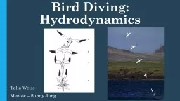
Bird Diving: Hydrodynamics
by cady
Talia Weiss. Mentor – Sunny Jung. Wang, T. M., e...
Subsidence Mapping in Harris County, Texas
by trish-goza
Taryn. . Tigges. CE 394K – GIS in Water Resour...
Monitoring, Mapping and Institutionalising Data
by tawny-fly
Rexson. L. . Keingo. : District Supervisor, . Wa...
Bird Diving:
by celsa-spraggs
Hydrodynamics. Talia Weiss. Mentor – Sunny Jung...
Mapping water availability & changes in water consumption patterns in Texas river basins due to
by giovanna-bartolotta
Paras Vaid. MS- Civil & Environmental Enginee...
Flood Hazard mapping at the Bago City in the Bago River BasinMr MYO T
by roy
1.Introduction 1.1Flood disaster statistics Floo...
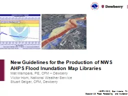
Mat Mampara, PE, CFM – Dewberry
by lindy-dunigan
Victor Hom, National Weather Service. Stuart Geig...
A GIS Flood Tool for Mapping Extent of Inundation
by cheryl-pisano
James Verdin. USGS Earth Resources Observation an...
Mat Mampara, PE, CFM – Dewberry
by olivia-moreira
Victor Hom, National Weather Service. Stuart Geig...
Mapping Water Quality in the Red River Gorge
by danika-pritchard
Jacob . VanWinkle. and Esta Day GEO 509. 05...
Safe Drinking Water Information System
by test
Compliance Monitoring Data & NextGen. Greg F...
Aquifer Mapping of Ground Water Resources, an initiative of
by lindy-dunigan
INDIA@COP22. Sustainable Lifestyle = Positive Cli...
Mapping South Carolina Drinking Water Quality for Alignment with Health-Record Databases in Epidemi
by Mermaid
David Ladner, Katherine . Holtmann. , . Rawya. Al...
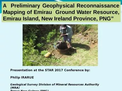
A Preliminary Geophysical Reconnaissance Mapping of Emirau Ground Water Resource, Emirau Island,
by roberts
Presentation at the STAR 2017 Conference by:. Phil...
Session 4
by danika-pritchard
Mapping risks areas for potential corruption in w...
Ven
by ellena-manuel
Te. Chow Award Lecture. David R. . Maidment. ASC...
Estimating Atmospheric Water Vapor with Ground-based
by alexa-scheidler
GPS. Lecture 12. Overview. This lecture covers me...
Hydrology Project - II
by pasty-toler
Salient Features & Progress. Implementing Age...
Mapping Future Hazards
by sherrill-nordquist
in South East London. Interpreting climate change...
Ven
by tawny-fly
Te. Chow Award Lecture. David R. . Maidment. ASC...
Global Croplands Project
by myesha-ticknor
Remote Sensing of Global Croplands and their Wate...
Impact of Fluoride Concentrations on Natural Waters throughout Texas
by danika-pritchard
Mark . Stehouwer. GIS in Water Resources. Fall 20...
Infrastructure Challenges in Kentucky
by stefany-barnette
Carey Johnson. Kentucky Division of Water. 2014 G...
NOI/Application Workshop
by pasty-toler
Mike Hickman – Center for Watershed protection....
Benthic Mapping using Remote Sensing Data
by bikershobbit
J. Cho. Department of Integrated Environmental Sci...
by friendma
Christoph F. . Eick. ...
by joedanone
Christoph F. . Eick. ...
19 th December, 2020 Presented By : Harish Kumar
by gagnon
Hingorani. Retired Engineer-in-Chief, Public Healt...
Socio-economic issues of the water crises and policy linkages
by tatyana-admore
Rose Alabaster, Co-Chair GEOGLOWS Steering Commit...
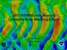
Michael Christy
by stefany-barnette
October 13, 2010. 2010 HSRP Public Meeting. Colum...
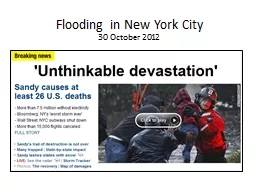
Flooding in New York City
by alida-meadow
30 October 2012. Current Conditions. Projected 5-...
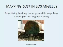
MAPPING
by tatiana-dople
LUST. IN LOS ANGELES. Prioritizing Leaking Under...
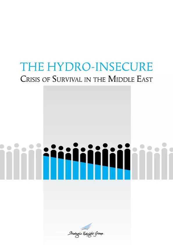
Mapping the Hydro-Insecure
by liane-varnes
CHAPTER I Swelling Refugees Water and Violence Res...
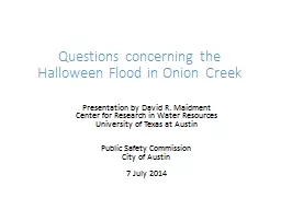
Questions concerning the Halloween Flood in Onion Creek
by mitsue-stanley
Presentation by David R. Maidment. Center for Res...
High Accuracy Helicopter Lidar & Mapping
by natalia-silvester
Jeffrey B. Stroub, CP,RLS,PPS,SP. Vice President ...
Tiffany L. Caudle, Thomas A. Tremblay, Jeffrey G. Paine, Jo
by marina-yarberry
Bureau of Economic Geology. Jackson School of Geo...
Vertical loading and
by tatiana-dople
atmospheric parameters. T. A. . Herring ...
Extraction of
by myesha-ticknor
atmospheric parameters. M. Floyd ...
12.540 Principles of the Global Positioning System
by min-jolicoeur
Lecture 15. Prof. Thomas Herring. Room 54-820A; 2...
Load More...